|
October 2000, Tour to Noah's Ark
It is best to travel with a group with
experienced guides when going to
the ark site, so check out our tours that go there each year.
www.arkdiscovery.com/tours.htm
Traveling alone can be dangerous and you
will miss out on various
items that we show on this website.
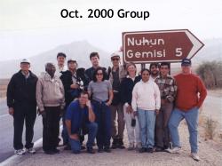
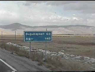
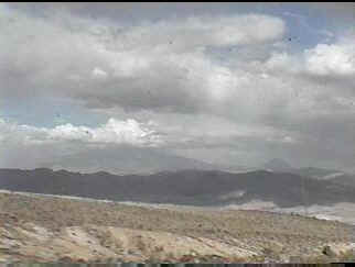
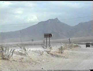
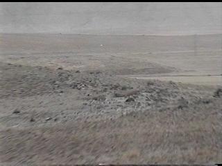
Standing in the Valley of Eight, we are along the road heading to Iran 6 miles
behind us. The government sign, Noah's Big Boat, points to our left where you drive up a
gravel road leading to the ark on a mountain at about 6,524' elevation.
Our Journey Begins:
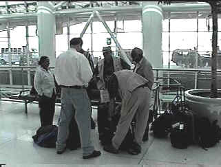
Meeting at the JFK airport to begin our journey.
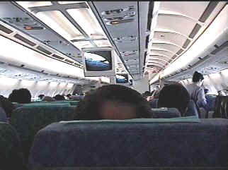
Aboard our Turkish Airlines Airbus.
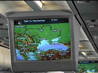
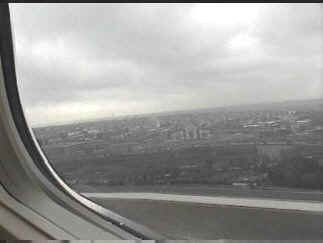
33 minutes until we arrive in Istanbul.
Buying Turkish Lira, one U.S. Dollar = 665,000 TL
Driving to our hotel in Istanbul.
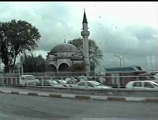
One of the many mosques in the city.
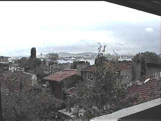
View from hotel room. Sea of Marmara in distance.
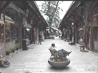
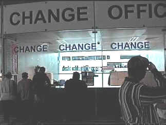
Some shops in Istanbul. Note, carpets are sold
everywhere!
Preparing to leave for the airport to fly to eastern Turkey
the next morning.
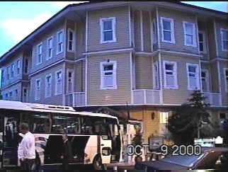
Our hotel was the Best Western Obelisk, near the tourist areas.
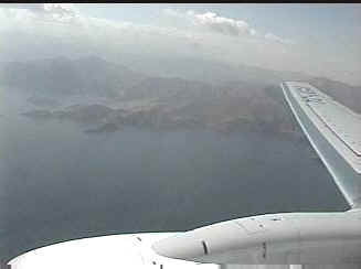
Leaving Istanbul as we take off.
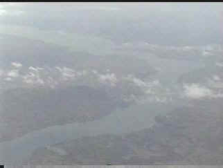
Euphrates river below us as we fly over eastern Turkey.
Lake Van below us as we descend to the Van airport.
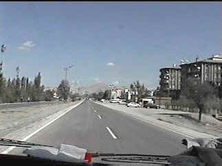
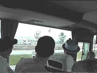
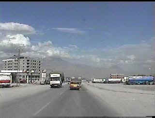
Streets of Van. Beginning our 2 hour drive to Noah's
Ark area.
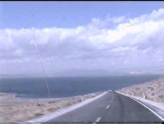
Driving around the northeast end of lake Van.
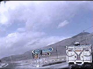
Turning north toward Dogubayazit.
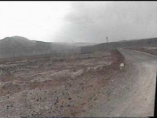
60 km or 36 miles to reach the nearest town to Noah's ark.
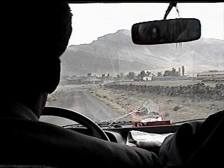
Locals thumbing a ride.
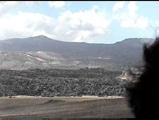
Lava flow extending miles from former volcano in the distance.
Border marker with Iran seen from our vehicle.
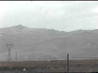
Crossing a mountain top, we see our first view of Mt. Ararat,
left, and Lesser Ararat, right.
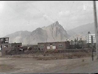
Entering Dogubayazit on our way to the ark.
Traveling through town, we see the Ararats.
The mountain on which rests Noah's ark.
"Noah's Big Boat" sign along the only road, points us to the site.
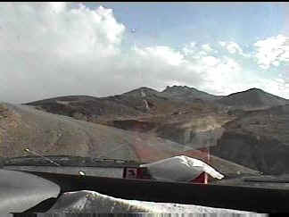
Driving up the mountain to the ark.
Our first look at the ark as we pull up the road.
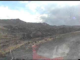
Driving up to the ark from the spot where previous photo was
taken.
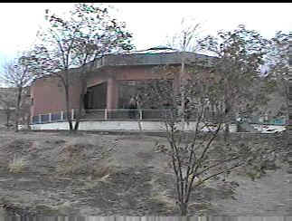
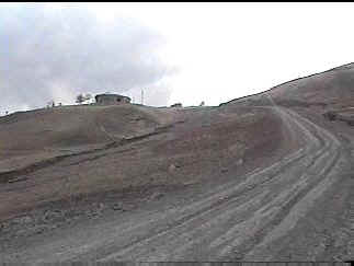
Visitors' center, side which faces the ark.
45 mph winds have us seeking shelter.
We'll head to the hotel for the night and be right back tomorrow.
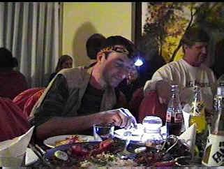
Cinar Restaurant in Dogubayazit that evening.
Power outage causes creative lighting by Mark.
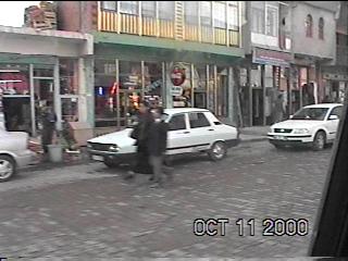
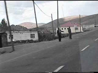
Downtown Dogubayazit the next morning.
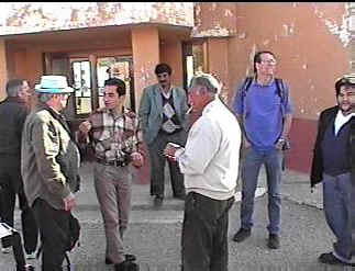
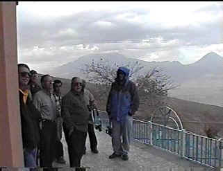
Hasan Ozer, white jacket, will open the visitors' center for
us.
Sabah, our driver in background; Bill Fry in hat, left; Zafer, in plaid shirt,
our Turkish guide.
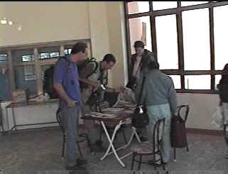
Looking over materials inside.
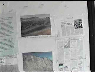
Informative documents posted for all to see.
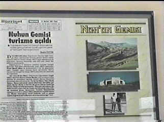
Official announcement, left, in largest Turkish newspaper stating Noah's ark had been
found.
Ron Wyatt, bottom right, with Hasan Ozer.
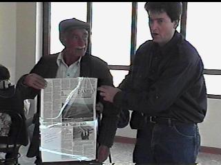
Hasan Ozer, left, accepting copy of Knoxville, Tenn.
newspaper, from Kevin Fisher,
featuring Mr. Ozer and the ark.
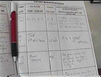
Visitors from all over the world have been here to see the
ark.
1500 signatures in 12 months.
Let's head to the village where Noah
lived....
Back near Dogubayazit, we are heading to the area behind this
mountain
where the village of Arzap is located.
Turning onto road which leads to the Village of Eight.
The long, flat-looking rock in center, is the possible
covering of the ark,
and is to the left of the road.
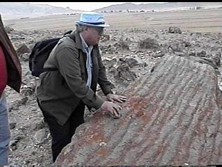
Tour leader, Bill Fry, knocks on this large stone-like object
that has a bark texture
and may be the covering Noah removed from the ark as the waters were
receding.
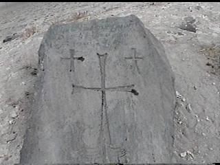
The sound is hollow and high pitched, much like metal.
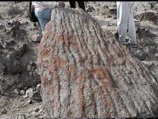
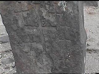
Crosses are visible on this, meaning, early Christians
associated this object with
a biblical event. Seven crosses can be found and probably had another at
one time.
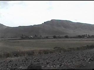
A little further down the road is the Village of Eight.
Traveling down the road leading into the village.
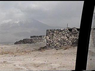
Crude stone structures are set against a vista of Ararat.
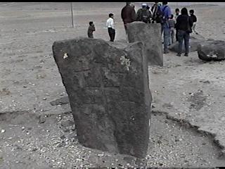
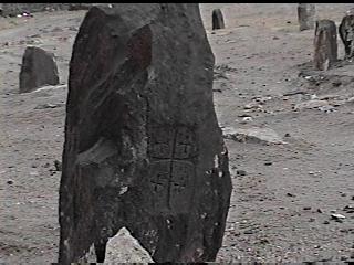
Our first view of the most prominent anchor stone.
This stately object was used to produce a smoother ocean ride
for Noah and his family.
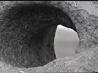
This hole in the top of stone was precision drilled to hold
the rope which was pulled through it.
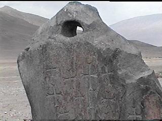
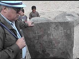
Many crosses have been added since the original eight, which
are in a different style.
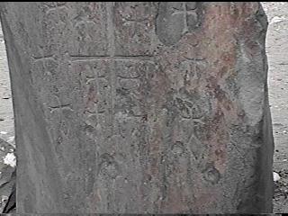
Symbols of Nimrod, the diamond, are visible in bottom half of
photo.
The crosses were probably added later.
Another anchor stone still partially buried.
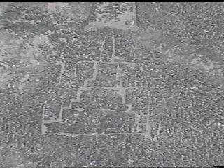
Carving of the tower of Babel, actually located in southern
Turkey, may have been
carved by someone who had seen it.
A few more anchor stones.
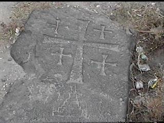
Bill Fry explaining that some cross-carvers did not know the
significance of
the number eight and placed an unusual number, such as six, on some
stones. Note the
one large cross.
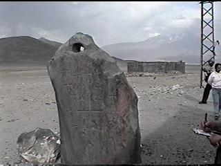
Another partially buried anchor stone with ancient writing
along the top.
A close-up of another stone.

Another anchor stone.
Near the village cemetery are found more anchor stones.

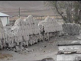
A large mound of manure, right, is used for fuel in the
winter.
Fences are made of stone and their animals are free to roam.
Ancient wall made of extremely large bricks originally had a
tile mural on it depicting
Noah and the ark. Ron Wyatt saw this in 1977, but when he returned the
next year the
tiles had been removed. One of the locals in the village, remembers the
tiles.
END OF TOUR
|